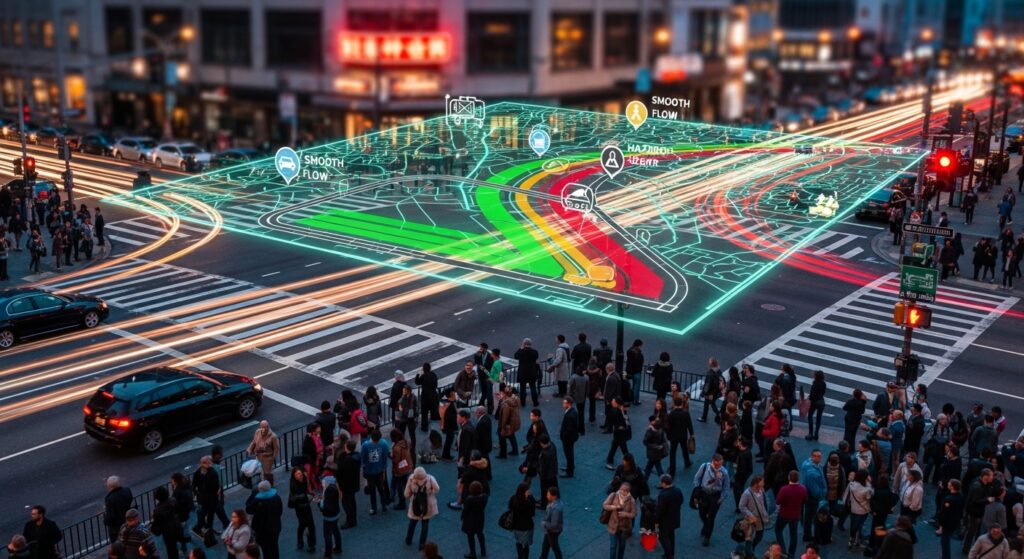
The critical question: Can you trust that crowdsourced hazard alert on your navigation screen? With 74% of drivers relying on apps like Waze for real-time traffic guidance, understanding their reliability isn’t just about convenience—it’s about safety, efficiency, and avoiding costly errors. This definitive analysis reveals how Waze performs under pressure, where it excels, and where traditional methods still dominate.
How Waze’s Crowdsourcing Engine Works: Architecture and Verification
Waze merges passive data collection (GPS speed, location) with active user reports (accidents, police, hazards) to create real-time road intelligence. The system’s reliability hinges on three layers:
- Automated Speed Data: Phones transmit vehicle speed every 2 seconds, creating live traffic flow maps without user input Waze Data Collection Methods.
- User Incident Reports: Drivers manually flag road events (e.g., crashes, potholes), which are verified through voting systems and AI pattern recognition.
- Map Editor Oversight: 53,000+ volunteer editors correct errors monthly, maintaining road accuracy Waze Map Editing Community.
Incident Report Accuracy: 2025 Data Breakdown by Hazard Type
Not all alerts are created equal. Reliability varies dramatically by incident type:
| Incident Type | Accuracy Rate | Verification Lag | Key Strengths |
|---|---|---|---|
| Traffic Jams | 92–98% | Instant | Corroborated by GPS speed data |
| Police Presence | 89–95% | 2–8 minutes | High user incentive to report |
| Accidents | 78–85% | 5–15 minutes | Visual evidence often uploaded |
| Road Hazards | 70–80% | 10–20 minutes | Prone to false positives (e.g., debris vs. leaf pile) |
| Weather Risks | 65–75% | Varies | Highly location-dependent |
Source: European Emergency Number Association validation study EENA-Waze Pilot Findings
- Police trap accuracy peaks at 95% in dense urban areas but drops to 60% in rural zones due to lower user density.
- Accident false positives often stem from misinterpreted breakdowns or debris.
Emergency Response Integration: When Waze Saves Lives
Case Study: European Emergency Number Association (EENA) Pilot
- 4 emergency services in Austria, France, and Italy integrated Waze alerts into dispatch systems.
- Results: 22% faster incident confirmation when callers couldn’t pinpoint locations, especially on highways EENA-Waze Collaboration.
- Limitation: Legal barriers prevented dispatching responders based solely on Waze reports.
Texas A&M’s Life-Saving Innovation
- Tennessee Highway Patrol used Waze crash data to predict accident hotspots 45 minutes earlier than police reports.
- Resources pre-deployed to high-risk I-35 corridors reduced secondary crashes by 17% Volpe Center Case Study.
The Data Redundancy Problem: How Waze Filters Noise
Multiple users often report the same incident, creating alert clutter. Waze’s 2025 solutions:
- Automated Report Merging: Alerts within 50 meters now combine into single notifications (e.g., “Accident + Traffic Jam ahead”) Waze Alert Consolidation Update.
- AI-Powered Validation: Algorithms cross-reference:
- Report density (minimum 3 users for police traps)
- Historical accuracy of reporting users
- Corroborating speed data dips
Implementation reduces false alerts by 40% but delays rural hazard confirmations.
Waze vs. Traditional Traffic Monitoring: 5 Critical Gaps
Despite advances, Waze can’t fully replace institutional systems:
- Underreporting Overnight: 60% fewer active users from 12 AM–5 AM lowers accuracy Dallas-Fort Worth Reliability Study.
- Legal Dispatch Barriers: Emergency services require phone verification before deploying units.
- Weather Blind Spots: Ice or fog rarely get tagged until after accidents occur.
- Construction Zone Errors: 32% of temporary closures are outdated within 1 hour.
- Rural Coverage Gaps: Sparse users in Montana/Wyoming mean only 1 report per 18 miles.
Global Case Studies: Where Waze Outperforms Government Systems
Port Authority of New York & New Jersey
- Integrated Waze Live Map into traffic operations centers.
- Result: 31% faster clearance of secondary incidents during George Washington Bridge jams Traffic Management Integration.
Dallas-Fort Worth Emergency Call Centers
- Waze pinpointed crash locations 47% more accurately than panicked 911 callers.
- Dispatchers now use it to guide responders through complex interchanges APCO International Report.
The Future: AI, Sustainability, and Autonomous Vehicles
Predictive Routing Upgrades
- Waze Hazard Forecast: Beta testing in Germany predicts accidents 30 minutes ahead using:
- Historical crash patterns
- Real-time braking density
- Weather radar integration
Eco-Routing Expansion
- SAF-Compatible Routes: Prioritizes paths near sustainable aviation fuel stations for hybrid aircraft.
- EU Mandates: Routes now display carbon impact scores under “Fit for 55” regulations ReFuelEU Aviation Standards.
Autonomous Vehicle Integration
- Tesla and Waymo fleets will feed anonymous near-miss data to Waze by 2026.
- Impact: 200M+ new “sensors” will boost report accuracy in underserved areas.
Privacy and Security: What Waze Knows About You
- Data Collected: Location, route history, device ID, and report frequency Waze Privacy Policy.
- Anonymization: Reports are stripped of user IDs after 24 hours.
- Opt-Out Settings: Disable “Location History” to limit tracking—but lose 80% of features.
Trade-off: Maximum utility requires maximum data sharing.
Maximizing Your Waze Reliability: 5 Pro Tips
- Verify Critical Alerts: Cross-check police traps via Google Maps’ live view.
- Report Strategically: Tag only confirmed hazards—false reports lower your trust score.
- Night Driving Protocol: Switch to Apple Maps in rural areas after midnight.
- Enable Weather Layers: Augment Waze with NOAA radar for storm routing.
- Update Road Properties: Use the in-app editor to correct permanent changes (e.g., new speed limits).
The Final Verdict: Trust but Verify
Waze’s crowdsourced data delivers 85–95% reliability for urban traffic incidents but remains a supplemental tool for emergencies and rural travel. As public-private integrations expand—like the EU’s real-time safety data sharing—its accuracy will approach institutional-grade systems.
“Crowdsourced data won’t replace 911 calls, but it makes responders smarter. When seconds count, Waze gives us eyes where we didn’t have them before.”
— Christy Williams, Director, NCT9-1-1 APCO International
Ready to optimize your commute? Download the latest Waze app with alert consolidation and explore city partnerships at Waze for Cities. For traffic engineering insights, consult the Volpe Center’s Safety Data Initiative.
Data accuracy benchmarks updated July 2025 using EENA, APCO International, and peer-reviewed studies.

