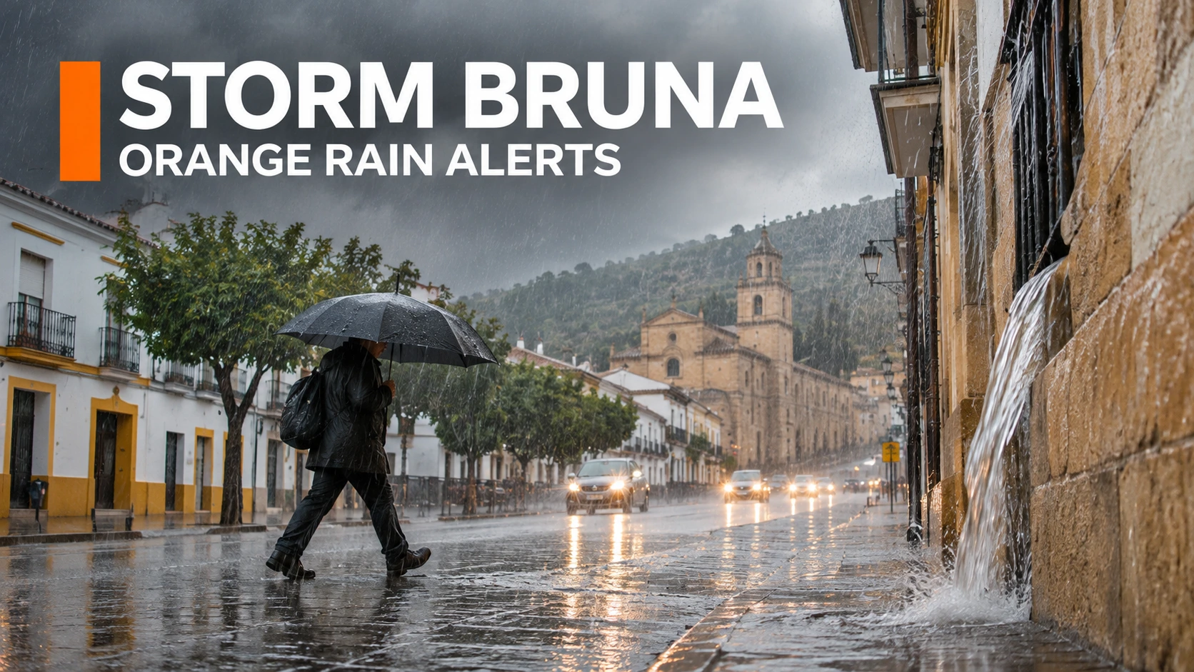
The State Meteorological Agency (AEMET) officially issued severe orange-level rain and wind warnings across western Spain and the Canary Islands as Storm Bruna batters the peninsula. If you are traveling through Andalusia or holidaying in the Canaries this week, you face a significant risk of flash flooding, dangerous coastal swells, and wind gusts reaching 90 kilometers per hour. The immediate concern for tourists is not necessarily widespread transport shutdowns, but localized road hazards and the sudden suspension of outdoor events.
What an AEMET “Orange” Alert Actually Means for Your Trip
Spain utilizes a strict four-color weather alert system, and an orange warning explicitly means a “significant meteorological risk” exists for routine daily activities. Unlike a yellow alert, which simply tells citizens to remain aware, an orange alert officially instructs residents and tourists to take active physical precautions and prepare for serious local disruptions.
AEMET divides the country into highly specific micro-climate zones, meaning the rainfall threshold required to trigger an orange alert in coastal Huelva is vastly different from the threshold in inland Madrid. You do not need to evacuate your resort or panic, but you must completely avoid outdoor excursions. The Spanish Civil Protection agency explicitly advises tourists to stay away from coastal promenades and beachfronts, as powerful, unpredictable waves frequently drag pedestrians out to sea during these specific storm surges.

Where is Storm Bruna Striking the Hardest Right Now?
Storm Bruna is a dynamic weather event affecting different Spanish provinces with varying levels of intensity. The storm currently concentrates its destructive power over western Andalusia and the Atlantic islands.
| Target Region | Primary Weather Threat | Immediate Impact on Travelers |
| Western Andalusia (Huelva, Sevilla) | Torrential downpours and flash floods | High risk of submerged secondary roads and overflowing local rivers. |
| Gran Canaria | 50+ liters of rain per square meter | Organized outdoor events officially suspended by the local municipal government. |
| Tenerife & Western Canaries | 90 km/h winds and 4-meter swells | Dangerous beach conditions and a high likelihood of inter-island ferry delays. |
| Balearic Islands | Mixed yellow and orange rain alerts | Sporadic heavy showers impacting everyday outdoor plans and walking tours. |
Also read – 7 Affordable All-Inclusive Resorts in the Caribbean You …
Driving Rules and Ground Transport Hazards During Heavy Rain
Renting a car and driving through western Spain requires extreme caution until the storm system dissipates later this Wednesday. The regional flood response plan is actively deployed across Andalusia, meaning emergency services and police are heavily monitoring major highways for structural failures and asphalt washouts.
If you absolutely must drive, follow these non-negotiable safety mandates from local authorities:
- Never cross flooded asphalt: Even if the water looks incredibly shallow, fast-moving floodwaters can sweep a heavy rental vehicle off the road in seconds.
- Reduce your highway speeds: High crosswinds create severe vehicle handling issues, especially when you are overtaking large transport trucks or exiting mountain tunnels.
- Avoid low-lying parking: Do not park your vehicle near dry riverbeds, streams, or coastal promenades, as flash floods happen with zero advance warning.
Also read – 7 Airlines Allowing Large Dogs in Cabin for International …
Will Storm Bruna Cancel Your Flights or Island Ferries?
An orange weather warning does not automatically ground commercial passenger jets. Major aviation hubs like Seville Airport and Gran Canaria Airport remain operational, but you should anticipate rolling delays due to poor runway visibility and severe crosswinds.
The biggest travel disruptions currently involve local municipal events and maritime transport. Authorities in Gran Canaria already suspended major organized public gatherings as a strict precautionary measure. If you plan to take an inter-island ferry in the Canary Islands, you must contact your operator directly. Four-meter sea swells frequently force local port captains to suspend all passenger crossings until the ocean stabilizes.
Always check theAEMET live warning mapor the government’s National Alert Network (RAN) viewer before leaving your accommodation. Because the agency updates risk levels based on real-time radar data, a safe green zone can upgrade to an orange danger zone within a single afternoon. These digital tools update every five minutes, giving tourists the exact same intelligence used by local emergency responders.