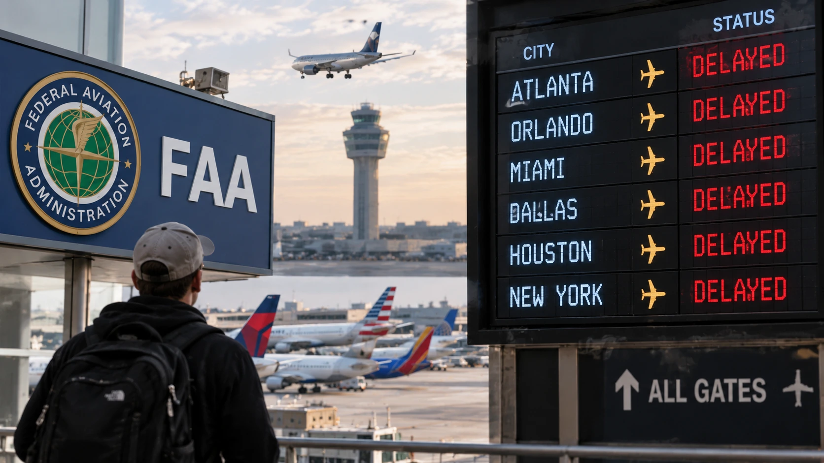
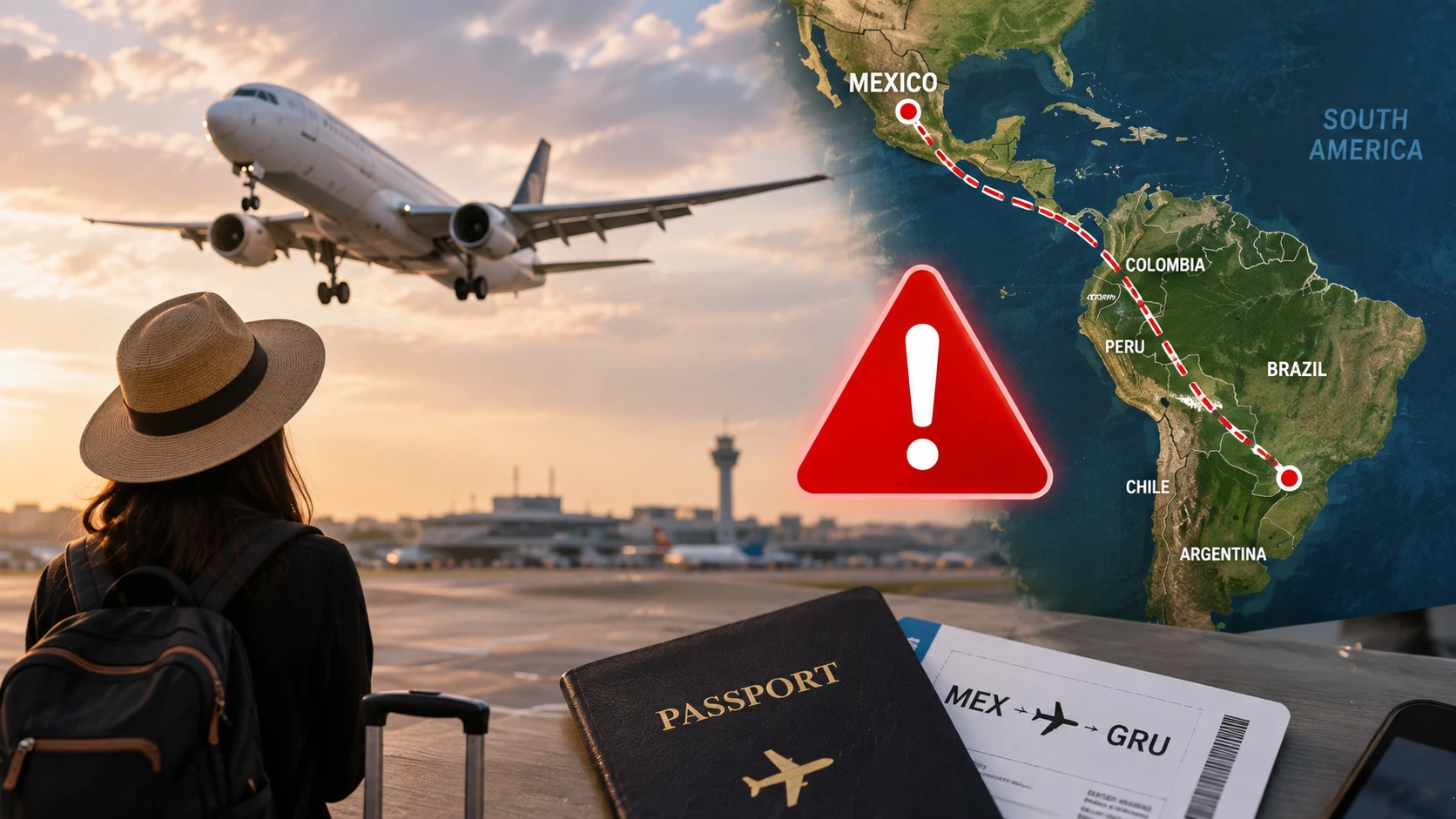
The United States Federal Aviation Administration (FAA) has officially issued a comprehensive series of flight advisories covering the entire aviation corridor from Mexico to South America due to severe GPS interference and unpredictable military operations. These mandatory safety notices, known as Notices to Airmen (NOTAMs), mandate that commercial airlines exercise extreme caution when flying over the eastern Pacific Ocean and multiple Latin American territories.

The sweeping security alerts apply immediately to all civil aviation operators, forcing major airlines to rethink their routing strategies across the Western Hemisphere. This unprecedented regulatory move directly impacts thousands of daily passenger and cargo flights transiting through some of the busiest international flight information regions.
Why Did the FAA Issue This Multi-Country Flight Advisory?
The Federal Aviation Administration (FAA) implemented these expansive flight restrictions as a direct response to escalating military activities and advanced electronic warfare tactics in the southern Caribbean and South American airspace. Rising geopolitical tensions, specifically following recent military operations targeting Venezuela, created a highly volatile operational environment for civilian aircraft.
Ground-based military units in the region are actively employing GPS jamming and spoofing technologies, which can severely blind a commercial airliner’s onboard navigation computers. Federal aviation regulators determined that the risk of accidental targeting or catastrophic navigation failure required immediate, widespread safety warnings.
Which Specific Airspace Regions Are Currently Affected?
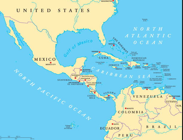
The newly published security NOTAMs cover a massive geographic footprint stretching from the Mexican coastline down to the territorial waters of Ecuador. The official FAA Prohibitions, Restrictions and Notices mandate heightened caution across six distinct Flight Information Regions (FIRs). An FIR is simply a specified geographic area where air traffic control services and flight information are provided.
Airlines must evaluate the following specific airspace sectors before dispatching flights:
- Mexico: Mazatlan Oceanic (MMFO) and overwater areas above the Gulf of California (MMFR).
- Central America: Overwater areas above the Pacific Ocean in the Central America FIR (MHCC).
- Panama: Overwater areas above the Pacific Ocean within the Panama FIR (MPZL).
- Colombia: Overwater airspace in the Bogota FIR (SKED).
- Ecuador: Overwater areas of the Guayaquil FIR (SEFG).
- Pacific Ocean: Specified portions of the No FIR region (XX01) off the Latin American coast.
How Does GPS Signal Interference Threaten Commercial Flights?
GPS signal interference actively compromises a commercial aircraft’s primary navigation system by replacing authentic satellite signals with false data. This electronic warfare tactic, known as “spoofing,” tricks the aircraft’s computers into calculating an incorrect geographic location. When an airplane loses accurate GPS positioning, the autopilot system can inadvertently steer the aircraft miles off its designated flight path.
Operating in an airspace with active signal interference forces pilots to instantly revert to traditional, ground-based radio navigation systems. This manual transition dramatically increases the workload inside the cockpit during critical phases of flight. Furthermore, modern aircraft rely on GPS data for the Ground Proximity Warning System (GPWS), meaning spoofing can trigger false terrain collision alarms or disable them entirely.
What Are Airlines Doing to Ensure Passenger Safety?
Commercial airlines are aggressively rewriting their flight plans to bypass the most hazardous zones located over the eastern Pacific Ocean and the Caribbean Sea. Carriers are strictly instructing flight crews to cross-reference multiple navigation systems, including internal sensors that do not rely on external satellite signals. Many international operators are shifting their Latin American routes further eastward over the Atlantic Ocean to maintain secure radar contact with air traffic control.
The International Civil Aviation Organization (ICAO) is actively coordinating with regional air traffic control centers to ensure safe alternative corridors remain open.
| Safety Strategy | Operational Requirement | Passenger Impact |
| Alternative Routing | Bypassing affected Pacific/Caribbean FIRs | Longer flight times and potential missed connections |
| Increased Fuel Loads | Carrying reserve fuel for emergency diversions | Heavier aircraft, potential luggage restrictions |
| Traditional Navigation | Using ground-based radio beacons (VOR/DME) | Slower traffic flow due to manual ATC spacing |
| Security Suspensions | Halting operations in high-risk conflict zones | Outright cancellation of specific direct routes |
Will These Advisories Cause Flight Cancellations or Delays?
These sweeping airspace restrictions will inevitably cause significant delays and targeted flight cancellations across the Americas. Rerouting a plane around the entire western coast of South America requires thousands of pounds of extra jet fuel and adds hours to the scheduled flight time. When a flight exceeds standard operating times, airlines must scramble to provide relief crews to comply with federal pilot fatigue regulations.
Travelers booking flights to or from Mexico, Central America, and northern South America should anticipate last-minute schedule adjustments. Airlines operating on tight turnaround schedules will likely cancel flights if the detour route pushes the aircraft beyond its maximum fuel range.
How Long Will the New Airspace Restrictions Last?
The FAA established an initial 60-day validity period for these specific Latin American and Pacific flight advisories. However, aviation security protocols dictate that these warnings can be extended indefinitely if the underlying military threats and GPS interference persist. The European Union Aviation Safety Agency (EASA) is also closely monitoring the situation and has issued parallel recommendations for European operators to avoid adjacent conflict zones.
Aviation authorities will not lift these NOTAMs until regional military commanders confirm the cessation of electronic warfare testing and airspace incursions. Regulatory bodies require a sustained period of unimpeded satellite navigation before declaring an airspace corridor safe for standard commercial use.
How Do These Flight Advisories Impact Airline Economics?
The financial toll on commercial airlines navigating these airspace restrictions is staggering. Every additional minute spent flying an alternative route burns hundreds of dollars in unbudgeted jet fuel. Airlines must absorb these soaring operational expenses, as they cannot legally charge passengers retroactively for longer flight paths.
Furthermore, reduced airspace capacity means air traffic controllers must increase the physical distance between airborne planes to ensure safety. This wider spacing drastically reduces the total number of flights that can operate in a region on any given day. To protect their profit margins, airlines may permanently suspend less profitable routes in Latin America until the federal safety advisories are officially revoked.
Essential Steps for Passengers Flying to Latin America
Passengers holding tickets for travel through the Mexico-to-South America corridor must adopt a proactive approach to managing their itineraries. Showing up to the airport without verifying your flight status could result in being stranded due to a sudden operational cancellation.
Travelers must execute the following logistical steps before departing:
- Monitor Flight Status Constantly: Check the airline’s official application 24 hours and 12 hours before departure for sudden routing delays.
- Verify Travel Insurance Exceptions: Confirm that your policy covers trip interruptions caused by airspace closures or military conflicts.
- Register with Embassies: US citizens should immediately enroll their trip details in the Smart Traveler Enrollment Program (STEP) to receive real-time security alerts.
- Prepare for Longer Transits: Pack essential medications, chargers, and extra clothing in your carry-on bag to accommodate extended flight times or unexpected layovers.