I remember pulling up to the stunning Calanques National Park outside Marseille last summer, windows down, ready for a coastal hike. Instead, I was met by police barricades and skies thick with orange smoke. I hadn’t checked the local fire danger maps. Before you pack your bags for a Southern Europe road trip this holiday season—especially through extreme hotspots like Provence, France or Aragon, Spain—knowing exactly how to track wildfires is a matter of life and death. You need official, real-time data, not delayed social media rumors.
Where Are the Biggest Wildfire Risks in Europe Right Now?
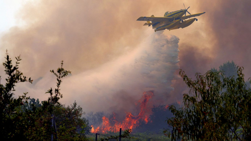
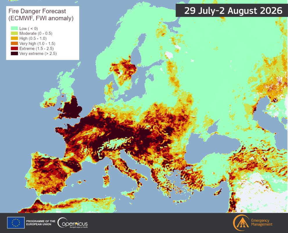
The Mediterranean basin is currently facing extreme wildfire threats, with massive blazes actively burning across Spain’s Aragon region and Southern France. Extreme heatwaves pushing temperatures well above 40°C (104°F) have turned the dry scrublands into tinderboxes. If you are driving through these regions, you must actively plan your daily routes around active fire perimeters and regional highway closures. Ignoring the conditions will trap you in massive traffic jams or put your rental car directly in the path of a fast-moving blaze.
Also read – 9 Spectacular European Cities That Worth Your One Day
Which Fire Tracking Apps Actually Work for Road Trips?
Start your daily planning with the European Forest Fire Information System (EFFIS), but strictly switch to local country apps the moment you cross a border. EFFIS gives you a brilliant continent-wide satellite view of active thermal hotspots. However, it will not tell you if the specific secondary highway you want to drive on is closed by local police.
| Application / Website | Best Used For | Geographic Coverage |
| EFFIS (Copernicus) | Big-picture route planning and satellite thermal spots | All of Europe |
| Météo des forêts | Checking daily forest access rules | France |
| AEMET Risk Index | Real-time weather danger & heat warnings | Spain |
| FR-Alert / 112 | Automatic evacuation text messages | EU-wide |
How Do Local Forest Closures Affect Your Itinerary?
Regional authorities instantly shut down nature reserves the moment fire danger peaks, regardless of your vacation plans. For example, the Calanques National Park in Marseille uses a strict color-coded system: green means trails are open, but a red alert means total closure—even banning tourist boats from approaching the cliffs from the sea. Never ignore a “trail closed” sign in Southern Europe. Starting a wildfire, even unintentionally by parking a hot car over dry grass, is a criminal offense carrying fines of up to €50,000. Always keep an urban backup plan ready. If the Provence forests are off-limits, pivot your day to explore the culinary markets in Zaragoza or the Vieux-Port in Marseille.
Also read – Tried & Tested Cheapest Ways to Travel in Europe …
What Are the Golden Rules for Driving in Fire-Prone Zones?
Keep your vehicle’s fuel tank above half-full, ensure your phone is fully charged, and never drive blindly through visible smoke.
- Never block emergency lanes: Rural dirt roads are lifelines. Firetrucks need every inch of those narrow roads to maneuver.
- Ensure mobile alerts are active: Your smartphone should be configured to receive local emergency broadcasts automatically. In Spain, dial 112 for all emergencies.
- Carry offline digital maps: High heat and intensive emergency coordination frequently crash local cellular networks in rural France and Spain. Download your maps before leaving your hotel WiFi.
- Watch the wind direction: A fire miles away can unexpectedly blow thick, blinding smoke across a major highway, reducing your driving visibility to zero in seconds.

